Luckily Google was able to help me out with a link to a Scientific American blog (http://blogs.scientificamerican.com/history-of-geology/january-11-1771-the-birthday-of-lake-alleghe/) with details on the catastrophic landslide event that occurred in January 1771, and resulted in Lake Alleghe forming in this location.
Click here for a bigger image
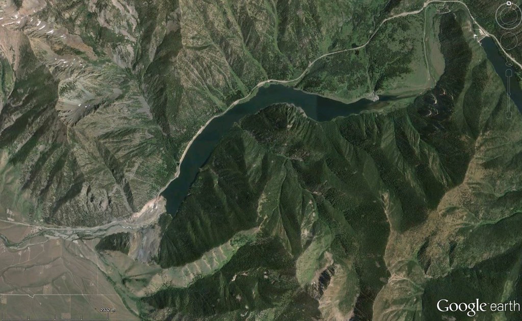
44°51′10″N 111°23′20″W - Quake lake, Montana, USA
ReplyDeleteAnother landslide lake, this time, an earthquake-caused one!
The Quake Lake is a 58 m deep and 9.7 km long lake and was created after a 7,3/7,5 Richter scale earthquake struck on August 17, 1959, which formed a landslide dam on the Madison River.
Luis-Filipe: you are correct!
ReplyDeleteVideo on the event: https://m.youtube.com/watch?v=Du0CIp7Ygj8
And #530 is here: http://woge-luis.blogspot.pt/2016/02/530.html
ReplyDelete